Every place has a pattern.
A hometown, a favourite corner, somewhere you keep returning to. We turn its streets into a fine-line map poster — composed from real OpenStreetMap data, never a stock template.
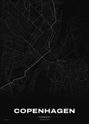
A place worth keeping, already made
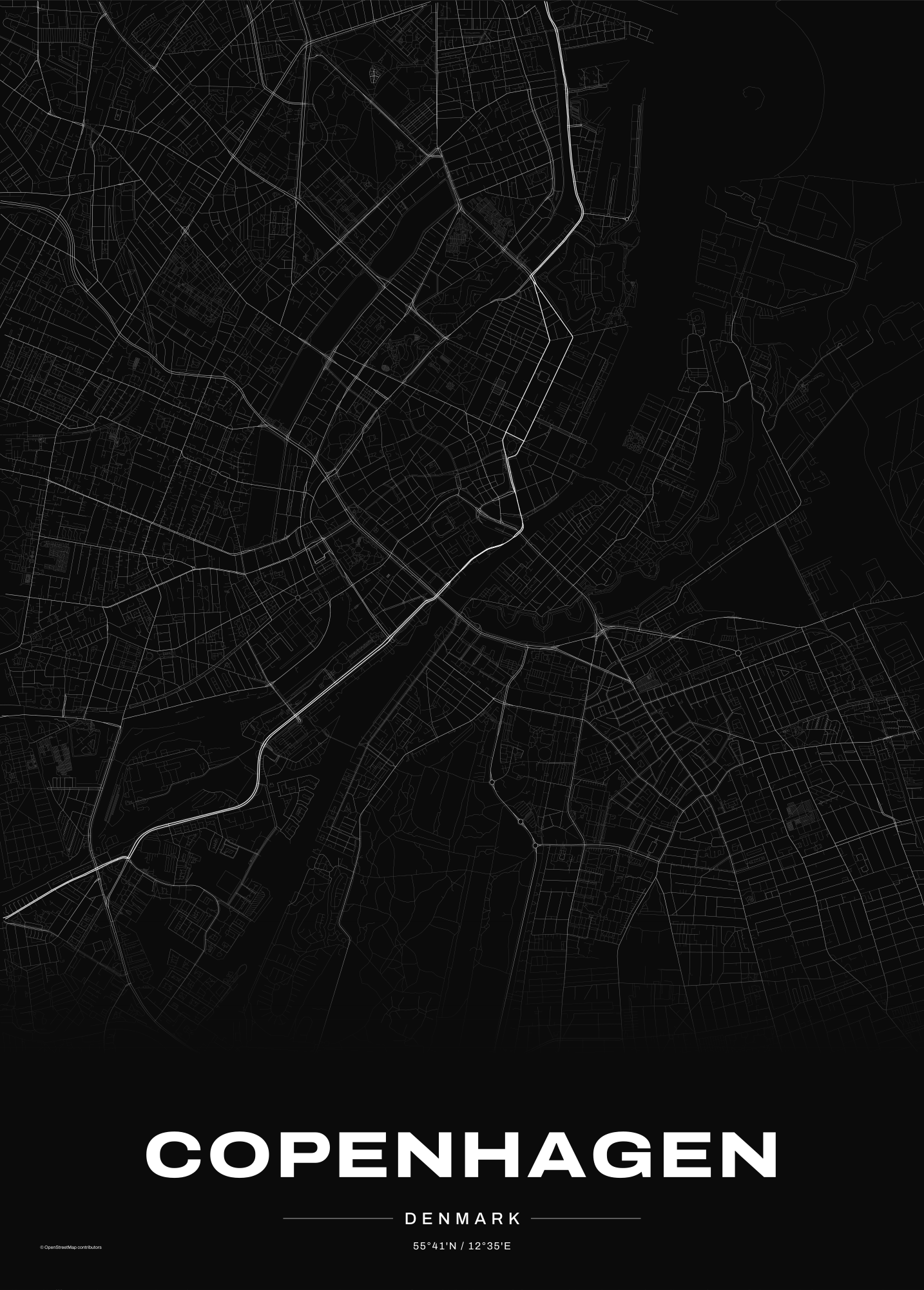
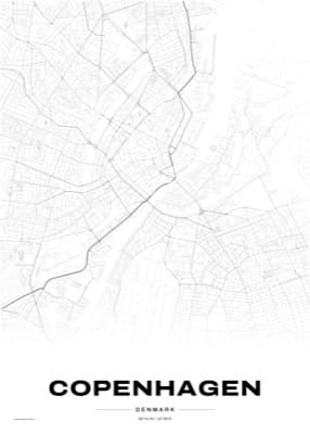
Copenhagen, Noir
The Inner Harbour and Christianshavn's ramparts, traced in white on charcoal.
Make one like this →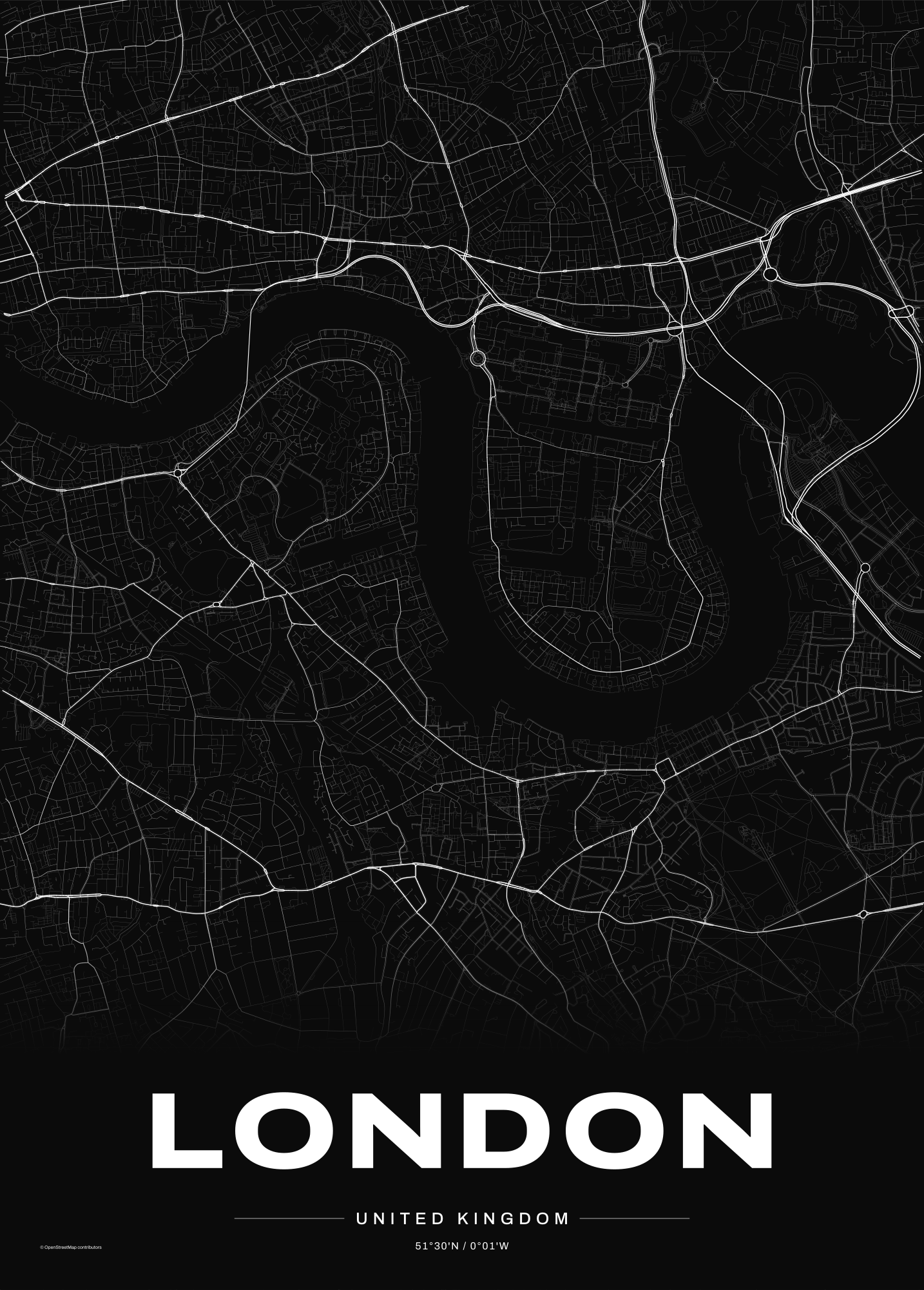
London, Noir
The Thames' loop around the Isle of Dogs and Greenwich.
Make one like this →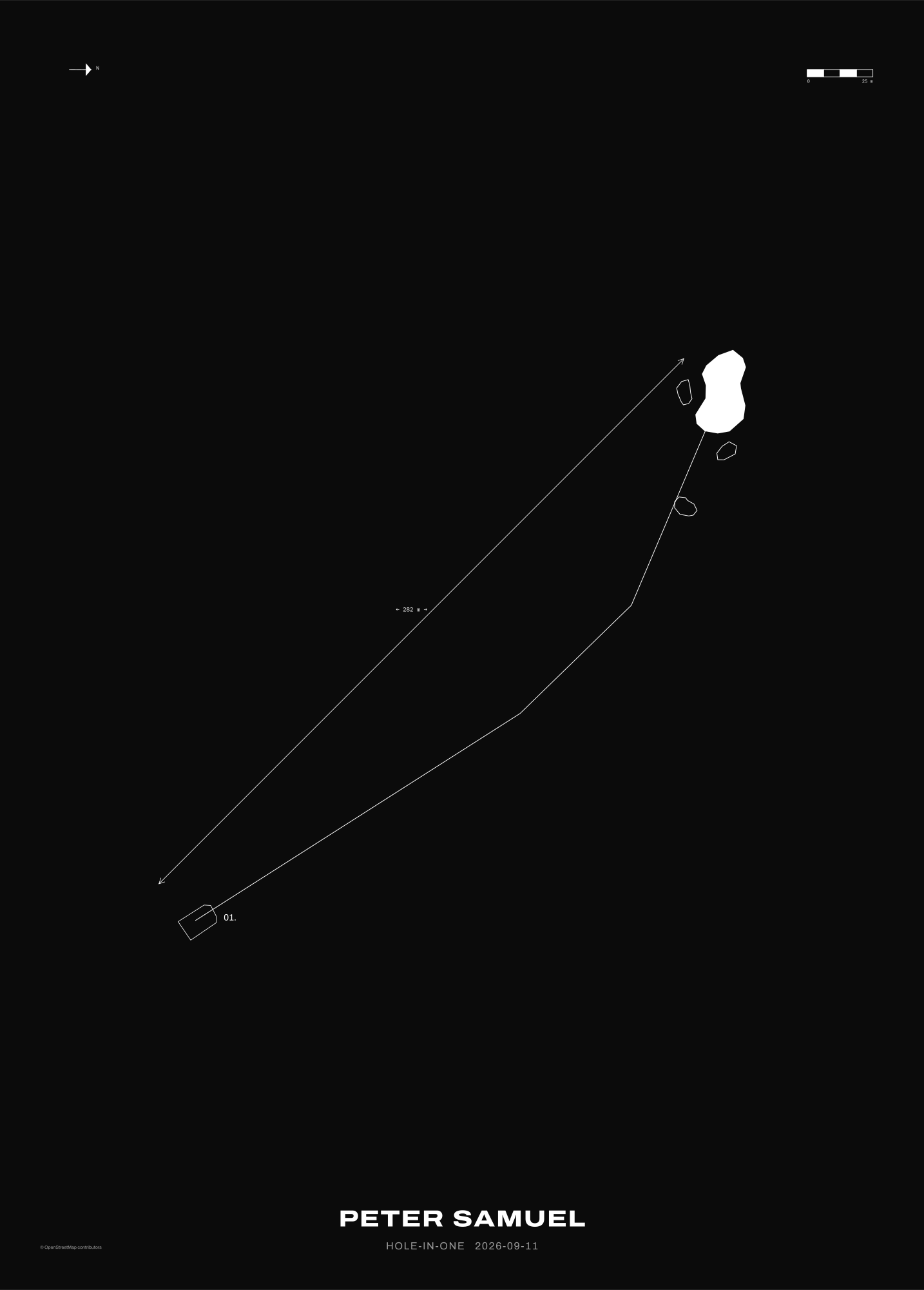
Exeter GCC — Hole 1
A hole-in-one keepsake, drawn from the course's real survey data.
Make one like this →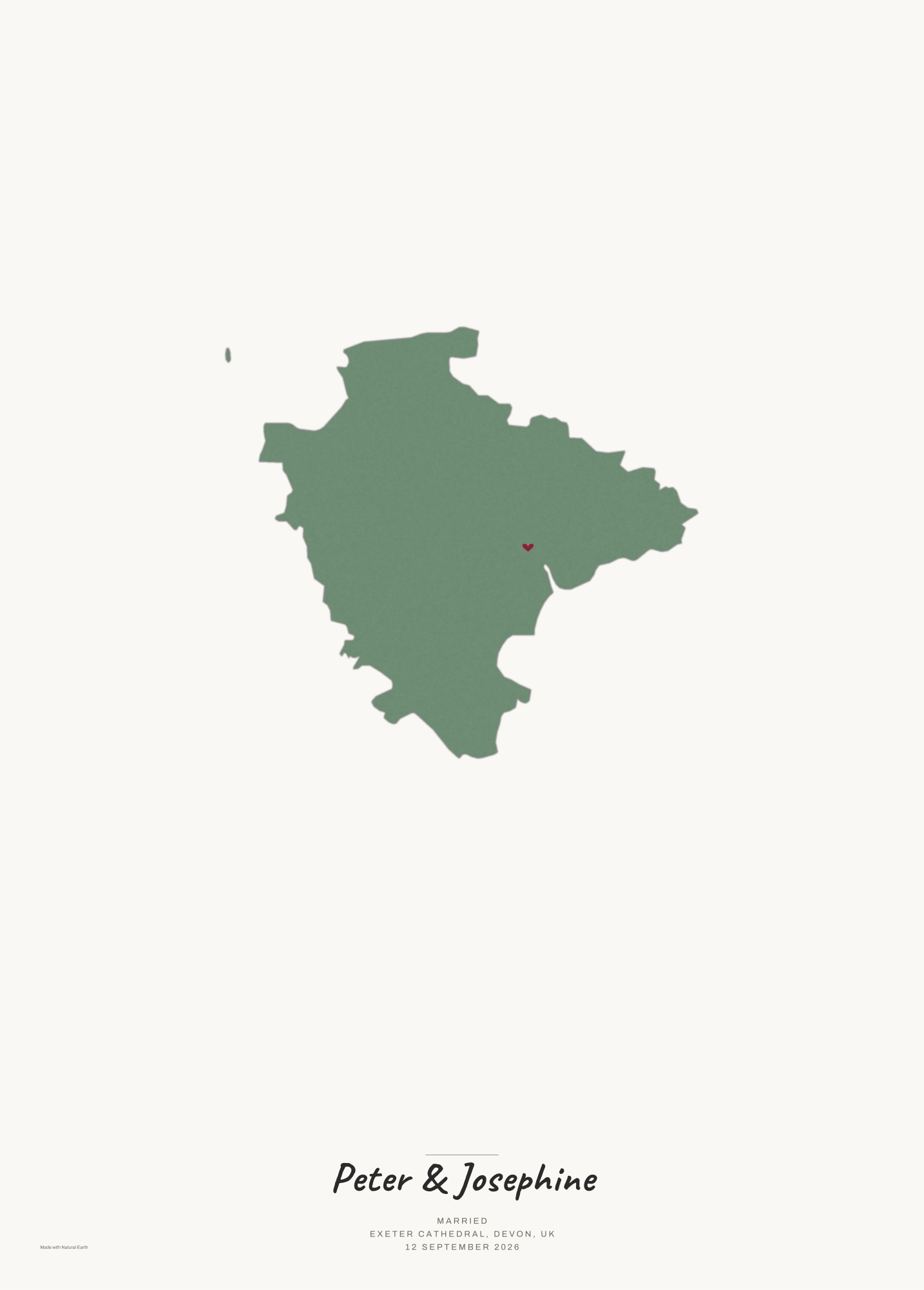
Devon Keepsake
A county silhouette, a marker on the place that matters, your own words.
Make one like this →© OpenStreetMap contributors.
Made to order, printed on demand
City map posters
Any place, framed around what makes it recognisable — home, hytte, hometown. Noir, Paper, or Blueprint. Print-ready up to 50×70 cm, plus a phone wallpaper.

Golf hole-in-one keepsakes
The exact hole, traced from the course's real survey data, personalised with the name, date and club. Live now for Exeter Golf and Country Club.
Tone, not just lines
Main roads are bold, side streets fade — most map posters draw every road the same width.
A curated crop
Framed on the one feature that makes the place recognisable, not zoomed out until it's a tangle.
Real data, always
Every street traced from OpenStreetMap. No invented geometry, ever.
Simple, honest pricing
One place, all three styles. Print-ready file up to 50×70 cm, plus a phone wallpaper.
Three places, same contents. Home, hytte and hometown as a set.